On The Map
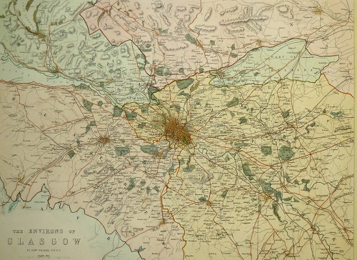
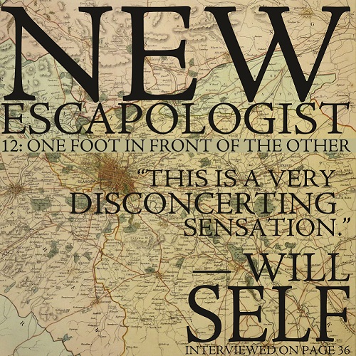
The cover of New Escapologist Issue 12 depicts an antique map of Glasgow in Scotland.
We used a map of all things to illustrate the theme of walking, though the decision to use specifically a Glasgow map was more solipsistic, for Samara and I–the ones who make these decisions–had recently moved there.

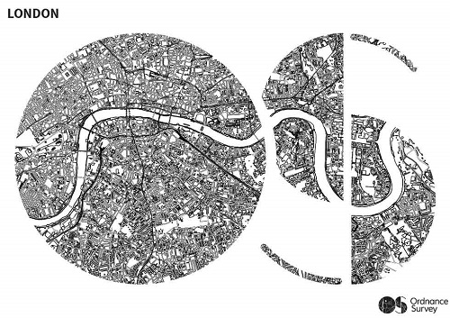
Now that the magazine is published I realise how much I enjoyed looking at all those images of maps, so I watched this BBC documentary about Ordnance Survey, the organisation responsible for developing the finest maps in the world.

I’m happy with how the Glasgow map looks on the magazine cover. It’s gorgeous. But in the documentary, the President of the Royal Geographic Society mentions a map that would have been even more apt to use.

Of the Ordnance Survey popular edition (1919-1926), he says:
“That era spans a part of history in Britain where the number of motor cars on the road went up from 77,000 to around a million. And so that map is the last picture we have of Britain before it was overrun by motor transport.”
Isn’t that something? Beautiful evidence of a time before the ubiquity of the infernal combustion engine.

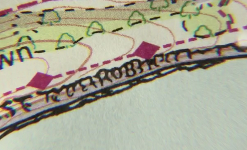
The documentary also mentions that cartographers, otherwise uncredited for their individual work on the maps, would sometimes sneak their names into the maps like a signature. They had to be very sneaky about it too, lest their supervisors find out. That’s some fairly wonderful workplace mischief.
Pleasingly, one of these cheeky map-makers had the same name as me:

★ Buy the brand-new Issue 12 of New Escapologist at the shop; buy our most popular digital bundle; or get the Escape Everything! book.


About Robert Wringham
Robert Wringham is the editor of New Escapologist. He also writes books and articles. Read more at wringham.co.uk